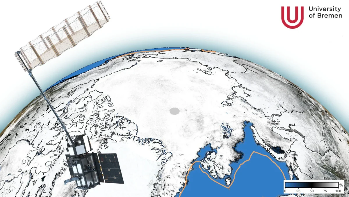
The polar regions keep our planet cool. The snow and ice covers reflect most of the incoming solar radiation directly back into space without warming up much. However, this natural cooling system is threatened by global warming. The reflectivity (albedo) of the ice is decreasing due to processes like sea ice loss or melt pond cover. Scientific observations are crucial to better understand the climate processes in the polar regions and their global effects.
Remote sensing from satellites is the tool of choice to collect comprehensive information about the vast areas of the Arctic and Antarctic. Within this working group, we develop new methods to better observe the Earth surface and atmosphere in polar regions from space. Satellite data allows us to monitor the changes and variability of the derived geophysical quantities, like sea ice area, melt pond coverage, or atmospheric water vapor, in both space and over longer time scales. We have longstanding experience in deriving sea ice area, type and thickness as well as snow on sea ice and atmospheric water vapor from spaceborne microwave radiometers. In recent years, remote sensing of albedo and melt ponds on sea ice using optical sensors and analysis of Synthetic Aperture Radar (SAR) and laser altimetry data has received more attention. All satellite datasets are evaluated in combination with extensive in-situ and airborne measurements like from the year-long MOSAiC ice drift expedition with RV Polarstern.
Satellite data are made available via websites www.seaice.uni-bremen.de and www.meereisportal.de.
Research goals
- Development of new methods for satellite remote sensing of sea ice and the polar atmosphere
- Analysis of satellite data time series to better understand the polar climate system and in particular Arctic amplification
- Investigation of physical processes, energy fluxes, and dynamics of the coupled ocean-sea-ice-atmosphere system
- Algorithm development for new satellite missions such as the EU/ESA Copernicus Imaging Microwave Radiometer (CIMR) or the JAXA Advanced Microwave Scanning Radiometer 3 (AMSR3)
Methods
- Microwave radiometers and radars on satellites, ships, and during sea ice measurement campaigns
- Optical multi- to hyperspectral sensors on satellites and during sea ice measurement campaigns
- Surface temperature measurements in the thermal infrared range from helicopters and satellites
- Sea ice physics and snow measurements (e.g. thickness, structure, roughness) during sea ice measurement campaigns
Responsible person
Dr. Gunnar Spreen, Institute of Environmental Physics, University of Bremen
www.seaice.uni-bremen.de
Projects we participate in
(AC)3 – Arctic Amplification
Climate Relevant Atmospheric and Surface Processes, Feedback, and Mechanisms; SFB Transregio, DFG
CIMR – Copernicus Imaging Microwave Radiometer
Level-2 Algorithm and Product Development (CIMR L2 PAD); European Space Agency (ESA), github.com/CIMR-Algos
CRiceS – Climate relevant interactions and feedbacks
The key role of sea ice and snow in the polar and global climate system; European Union Horizon 2020
