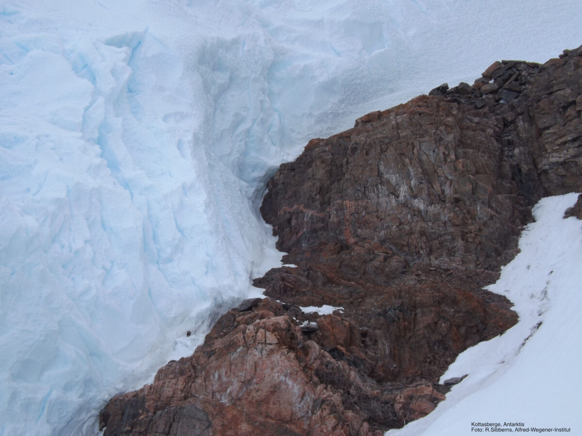
Geographical names are needed in Antarctica for orientation and navigation as well as for the identification and positioning of objects. They are particularly important for search and rescue operations, for scientific research, environmental protection measures and for the protection of historical heritage. Geographical names also reflect the history of the continent’s discovery. One example of this is a mountain range called “Kottasberge”, which is shown in the photo above. This mountain range was first sighted during the German Antarctic Expedition in 1938/39 and was later named after Alfred Kottas, the captain of the expedition ship.
The National Committee SCAR/IASC decides on the allocation of geographical names in Antarctica. The allocation of new German-language geographical names in Antarctica is done in cooperation between the Standing Committee on Geographical Names (StAGN) and the National Committee.
Name suggestions must be sent to the StAGN at the following address:
Bundesamt für Kartographie und Geodäsie
Richard-Strauss-Allee 11
D-60598 Frankfurt am Main
Tel.: 069/6333-313
Fax :069/6333-441
Email: stagn [at] bkg.bund.de
The StAGN has an appropriate form ready for this purpose. The StAGN examines the name proposal according to toponymic criteria and forwards it to the National Committee SCAR/IASC for final decision. A list of German-language geographical names in Antarctica is available on the homepage of the StAGN.
International geographical names in Antarctica
The former SCAR Working Group on Geodesy and Geographic Information (see SG Geoscience) published the Composite Gazetteer of Antarctica (SCAR Bulletin 138 October 2000), an index of all geographical names in Antarctica. It is maintained by the Programma Nazionale di Ricerche in Antartide.
Further information: Chiara Ramorino, Email: antar [at] casaccia.enea.it
